Hiking Pace: Naismith's Rule and the Corrections It Needs
Published 11/25/2025 · 12 min read · Sport calculators

William Naismith published his rule in the Scottish Mountaineering Club Journal in 1892, and it has survived because it needs no more than a map: allow one hour for every three miles measured on the map, and add one more hour for every 2,000 feet of ascent. That is 20 minutes per mile and 1.8 seconds per foot of climb. A 10-mile day with 4,000 feet of ascent therefore takes 3 h 20 min plus 2 h, or 5 h 20 min. The rule has two known holes. It ignores descent entirely, which is why Langmuir's correction exists: add 10 minutes per 1,000 feet of descent on slopes steeper than 12 degrees, and subtract 10 minutes per 1,000 feet on gentle ones between 5 and 12 degrees. Descend that same 4,000 feet steeply and the day becomes 6 hours; descend it gently and it becomes 4 h 40 min — an 80-minute spread on identical mileage. The second hole is the walker: Naismith assumed someone fit, unladen and on good ground. Tobler's hiking function replaces the two-rate model with one continuous curve, W = 3.73·e^(-3.5·|S+0.05|) mph, whose maximum falls not on the flat but on a 5% downgrade.
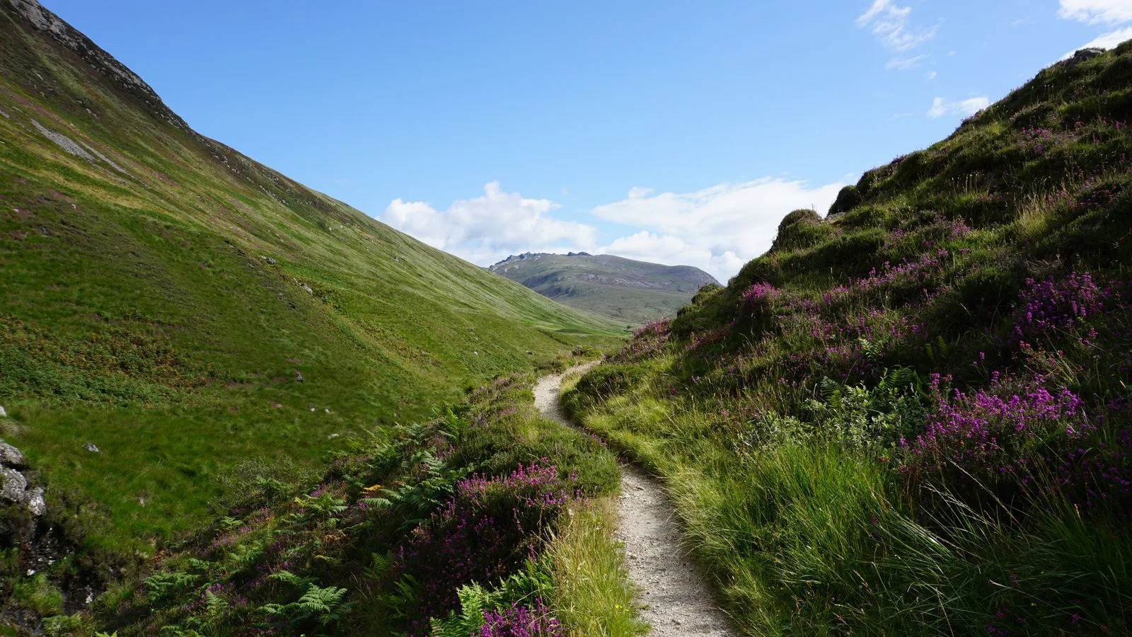
Naismith's 1892 rule times a route in two lines of arithmetic. It also ignores descent completely and assumes a fit walker with no pack. Here is the rule, Langmuir's fix, and Tobler's continuous alternative — whose fastest speed is on a downhill, not on the flat.
The rule as Naismith wrote it, in 1892
The original wording is a single sentence buried in an excursion note in the Scottish Mountaineering Club Journal: allow an hour for every three miles on the map, with an additional hour for every 2,000 feet of ascent. Nothing has been added to it in 130 years that is as widely used. It survives because it costs nothing to apply — the two inputs are map distance and total climb, both of which you can read off a contour map with a piece of string and a pencil, and neither of which needs a GPS track or an app.
Turned into rates, the rule says you walk at 3 mph on the level and climb at 2,000 feet per hour. Both are worth memorising in their per-unit form: 20 minutes per mile of map distance, and 1.8 seconds per foot of ascent. The second one is the surprise. A single 100-foot rise costs three minutes — and at 20 minutes per mile, three minutes buys 0.15 of a mile, so that little bump is worth another 790 feet of flat ground. Contours are expensive, and the rule prices them explicitly, which is most of the reason it is still taught.
Working the rule on a real route
Take a there-and-back summit day: 10 miles of map distance and 4,000 feet of ascent, which means 4,000 feet of descent as well, because you come back down the way you went up. Naismith gives 10 ÷ 3 = 3.333 hours, or 3 h 20 min, for the distance, and 4,000 ÷ 2,000 = 2 hours for the climb. Total 5 h 20 min. That is the number most people write in the car park and then measure themselves against all day.
Two things are already worth noticing. First, the climb is 37% of the estimate even though it occupies a small fraction of the ground you cover — the rule is telling you that a route's difficulty lives in its contours, not its length. Second, and this is the point of the next section, the descent contributed exactly nothing. Naismith's arithmetic does not know you are coming back down. Whether you drop 4,000 feet on a rough boulder field or on a graded path, the estimate is identical, and it cannot be identical in reality.
The first hole: descent does not exist in Naismith
Eric Langmuir's Mountaincraft and Leadership, the handbook behind the British mountain leader awards, adds the missing term as a pair of one-line corrections. On gentle descents — slopes between 5 and 12 degrees, which is a gradient of 8.7% to 21.3% — subtract 10 minutes for every 1,000 feet you lose, because that terrain genuinely lets you move faster than the flat. On steep descents, anything past 12 degrees, add 10 minutes per 1,000 feet instead, because braking, loose ground and the need to place your feet slow you below walking pace.
Apply both to the summit day. All 4,000 feet of descent on steep ground adds 4 × 10 = 40 minutes, taking 5 h 20 min to 6 h 00 — 12.5% more than Naismith said. The same 4,000 feet on gentle ground subtracts 40 minutes instead, taking the day to 4 h 40 min. That is an 80-minute spread across an identical distance and an identical amount of climbing, decided entirely by a term the original rule does not contain. On a route with a scrambling descent and a late start, 80 minutes is the difference between finishing in daylight and not.
The second hole: a fit, unladen walker on good ground
The rates 3 mph and 2,000 feet per hour describe a specific person: reasonably fit, walking without a heavy pack, on a path, in daylight, alone or in a small competent group. Change any of those and the estimate goes soft. Philip Tranter's corrections, printed alongside Naismith in most British handbooks, grade the party by a simple fitness test and then inflate the Naismith time — the least fit grades can take twice as long — and they instruct you to drop a whole grade for a heavy load, for night, for poor visibility or for bad underfoot conditions.
The load term can be reasoned about rather than looked up. On flat ground the energy cost of walking is roughly proportional to the total mass you are moving, and on a climb the work against gravity is exactly proportional to it. So a 154 lb walker who shoulders a 45 lb pack is now moving 199 lb, and at unchanged metabolic output the rates scale by 154 ÷ 199 = 0.774. Three miles per hour becomes 2.32; 2,000 feet per hour becomes about 1,548. Every Naismith time goes up by 199 ÷ 154 − 1 = 29%. Our 5 h 20 min day becomes 6 h 53 min before Langmuir has said a word about the descent.
Terrain is the term nobody can put a coefficient on, and it is often the largest. Deep heather, peat hags, boulder fields, soft snow and thick forest can each halve your speed over a stretch, and none of them shows on a contour map. Neither do the stops: navigation checks, layers on and off, food, photographs and waiting for the slowest member of the group. A useful discipline is to add these as an explicit line rather than pretending the walking rate absorbs them.
Tobler's hiking function, and the gradient that beats the flat
Waldo Tobler, working on movement models in geographic information systems, replaced the two-rate scheme with one continuous curve: W = 6·e^(-3.5·|S+0.05|), with W in km/h and S the gradient as a plain ratio of rise over run. Because the gradient is dimensionless, the same function in imperial units is simply W = 3.73·e^(-3.5·|S+0.05|) mph, the constant being 6 km/h expressed in miles per hour. One function, every slope, uphill and downhill, no thresholds and no separate ascent term.
The +0.05 inside the absolute value is the whole trick, and the maximum falls straight out of it without calculus. The exponential is a strictly decreasing function of |S+0.05|, so W is largest exactly when that absolute value is zero — that is, when S = -0.05. A gradient of -5%, an angle of arctan(0.05) = 2.86 degrees downhill. There W = 3.73·e^0 = 3.73 mph, which is 19% faster than the 3.13 mph the same function gives on the flat. Walking is fastest going slightly downhill, not on the level, and the model says so in one line.
The same structure produces a set of equivalences that are worth carrying in your head, because they are exact rather than approximate. Since only the distance from -5% matters, any two gradients equally far from it give identical speeds. The flat and a 10% descent are both 5 points away, so they are equally fast: 3.13 mph either way. A 10% climb and a 20% descent are both 15 points away — 2.21 mph each. A 20% climb matches a 30% descent at 1.55 mph. If you have ever felt that a steep descent was no faster than the ascent that preceded it, the function agrees with you and can say by how much.
Two things stop Tobler being a straight replacement for Naismith. It needs a gradient for every segment, which means a digital elevation model rather than a piece of string, and it was fitted to a walker on reasonable ground, so it inherits exactly the same terrain blindness. Its most useful property is agreement: on the flat it returns 3.13 mph against Naismith's assumed 3, which is close enough to be reassuring about both. Where they part company is downhill, and that is precisely where Naismith was silent.
How to actually plan a day with these numbers
Build the estimate in four visible lines rather than one number: distance time, ascent time, descent correction, and a stops-and-terrain allowance you write down instead of hoping for. Then compare the total against the hour of sunset, not against the hour you would like to finish, and set a turn-around time — a clock time at which you go back whether or not you have reached the summit. A party that has agreed a turn-around time in the car park makes a very different decision at 3 p.m. from one that has not.
Then do the one thing that turns any of these rules into a personal instrument: record your actual time against the estimate for a few outings and work out your own multiplier. Some walkers reliably come in at 0.85 of Naismith, others at 1.3, and the ratio is far more stable for one person than the underlying rates are across people. Once you know yours, the 1892 rule stops being a generic guess and starts being a forecast about you.
| Gradient | Angle | Speed | Pace | Against the flat |
|---|---|---|---|---|
| -30% (down) | -16.7° | 1.55 mph | 38:36 /mile | -50% |
| -20% (down) | -11.3° | 2.21 mph | 27:12 /mile | -30% |
| -10% (down) | -5.7° | 3.13 mph | 19:10 /mile | Identical to the flat |
| -5% (down) | -2.9° | 3.73 mph | 16:06 /mile | +19% — the maximum |
| 0% (flat) | 0° | 3.13 mph | 19:10 /mile | Reference |
| +10% (up) | +5.7° | 2.21 mph | 27:12 /mile | -30% |
| +20% (up) | +11.3° | 1.55 mph | 38:36 /mile | -50% |
| +30% (up) | +16.7° | 1.10 mph | 54:47 /mile | -65% |
Frequently asked questions
- Does Naismith's rule work for running as well as walking?
- Not directly, but its structure does. Hill runners use the same two-term shape with faster rates, and the ascent term stays surprisingly close to the walking one, because above a certain gradient almost everyone walks anyway. The usual finding on steep ground is that a runner's advantage is nearly all on the flat and the descent, and almost none on the climb — which is why the split between a hill race's flat sections and its climb matters more than its total distance.
- Why does a steep descent take longer than a gentle one if gravity is helping?
- Because past a certain angle you stop being propelled and start braking. Eccentric muscle work in the quadriceps, the need to place each foot deliberately, loose scree or wet rock and the simple fear of a fall all cap your speed well below what the slope would allow. Below roughly 12 degrees gravity is a net gift; above it, control costs more than gravity gives. Langmuir's two-sided correction is exactly a statement of where that boundary sits.
- How much time should I add for a heavy backpacking load?
- Scale by total mass. Because the cost of walking tracks the weight you are moving, a 154 lb walker under a 45 lb pack is at 199 lb and should expect times about 29% longer, since 199 ÷ 154 = 1.29. That is a first-order estimate and it is optimistic on rough ground, where a heavy pack costs extra in balance and foot placement rather than only in energy. It also assumes the pack is packed well; a load that shifts is worse than a heavier one that does not.
- Should I use Naismith or Tobler?
- Naismith with Langmuir's correction if you are planning from a paper map, because you can do it in your head with two divisions and one addition. Tobler if a tool is doing the work from an elevation profile, because it prices every segment at its own gradient instead of averaging the whole route into two lumps. On a route with sustained even gradients the two land close together. On a switchback approach, a rolling ridge or a long gentle descent, Tobler is markedly better, and the difference is largest exactly where Naismith is silent.
- Is walking really fastest downhill? That does not match my experience.
- It probably does, once you notice how slight the optimum is. A 5% downgrade is 2.86 degrees — barely perceptible, the sort of grade you would describe as flat. That is not a descent you brake on; it is a gentle tilt that lets each stride carry a little further for the same effort. Anything you would actually call a downhill is well past the optimum: by 20% down, Tobler already has you slower than on the level, and by 30% down you are at half the flat speed.
Articles you may find interesting
All guides →Related tools
Naismith's rule and its corrections are planning estimates, not promises. Weather, snow, a river in spate, a tired member of the party or a single navigation error can add hours to any route. Build in margin, fix a turn-around time before you leave, check the forecast and the hour of sunset, and tell someone where you are going. In the mountains a timing that is 20% optimistic is how people end up walking out in the dark.
Sources
- Scottish Mountaineering Club — Scottish Mountaineering Club Journal, Vol. 2 (1892) — W. W. Naismith's excursion note, in which the rule first appears
- Mountain Training UK and Ireland — Eric Langmuir, Mountaincraft and Leadership — the standard handbook, source of the descent corrections
- National Center for Geographic Information and Analysis (UC Santa Barbara) — Waldo Tobler, Three Presentations on Geographical Analysis and Modeling, Technical Report 93-1 (1993) — the hiking function
- Ordnance Survey — Estimating walking times with Naismith's Rule
- Mountaineering Scotland — Route planning, navigation and turn-around times
Spotted a mistake in this article?